McKay Butte
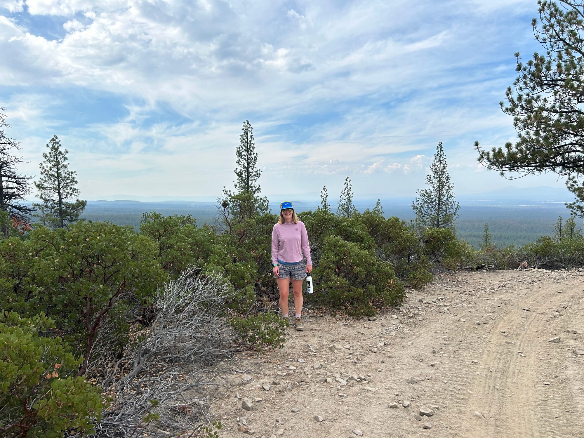
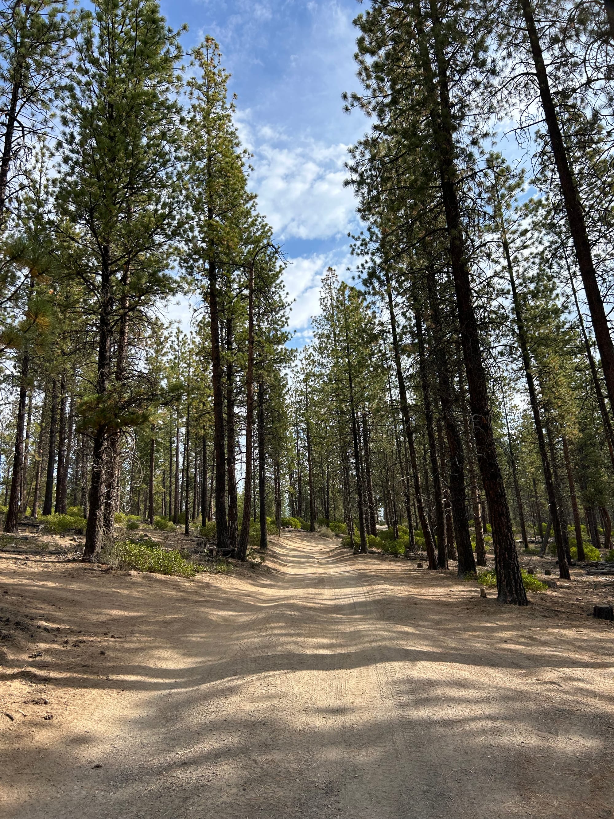
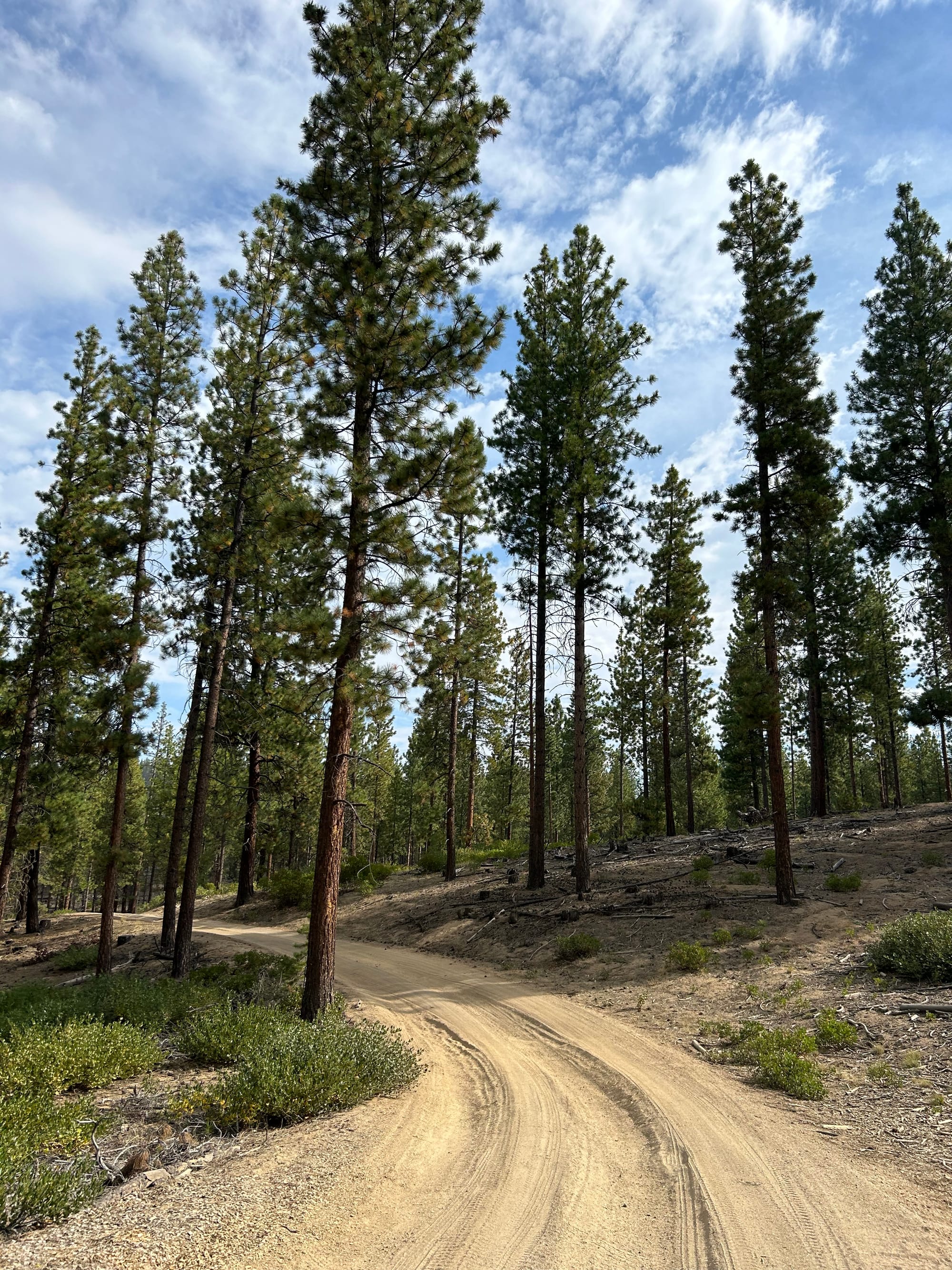
To continue with our exploration of buttes in central Oregon next up is McKay Butte. Follow directions to the McKay Campground and just past the one lane bridge is where you can start to park. If you have all wheel drive you can go much father up the butte, we opted to park by the bridge and start the slight uphill hike from there. Once you park just continue up the dirt road up the butte.
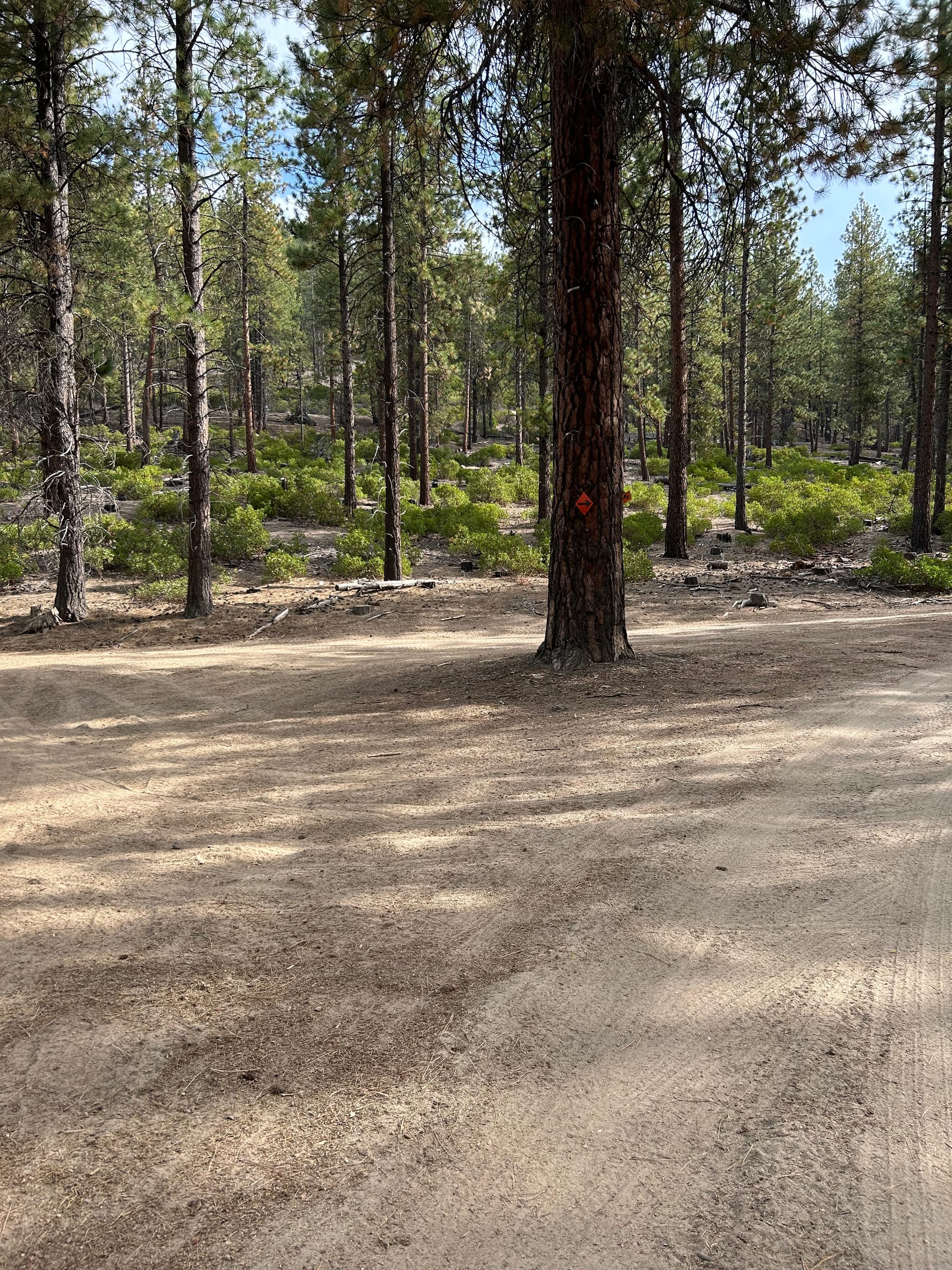
At the first fork in the road you hit take a right and follow the arrow on the tree.
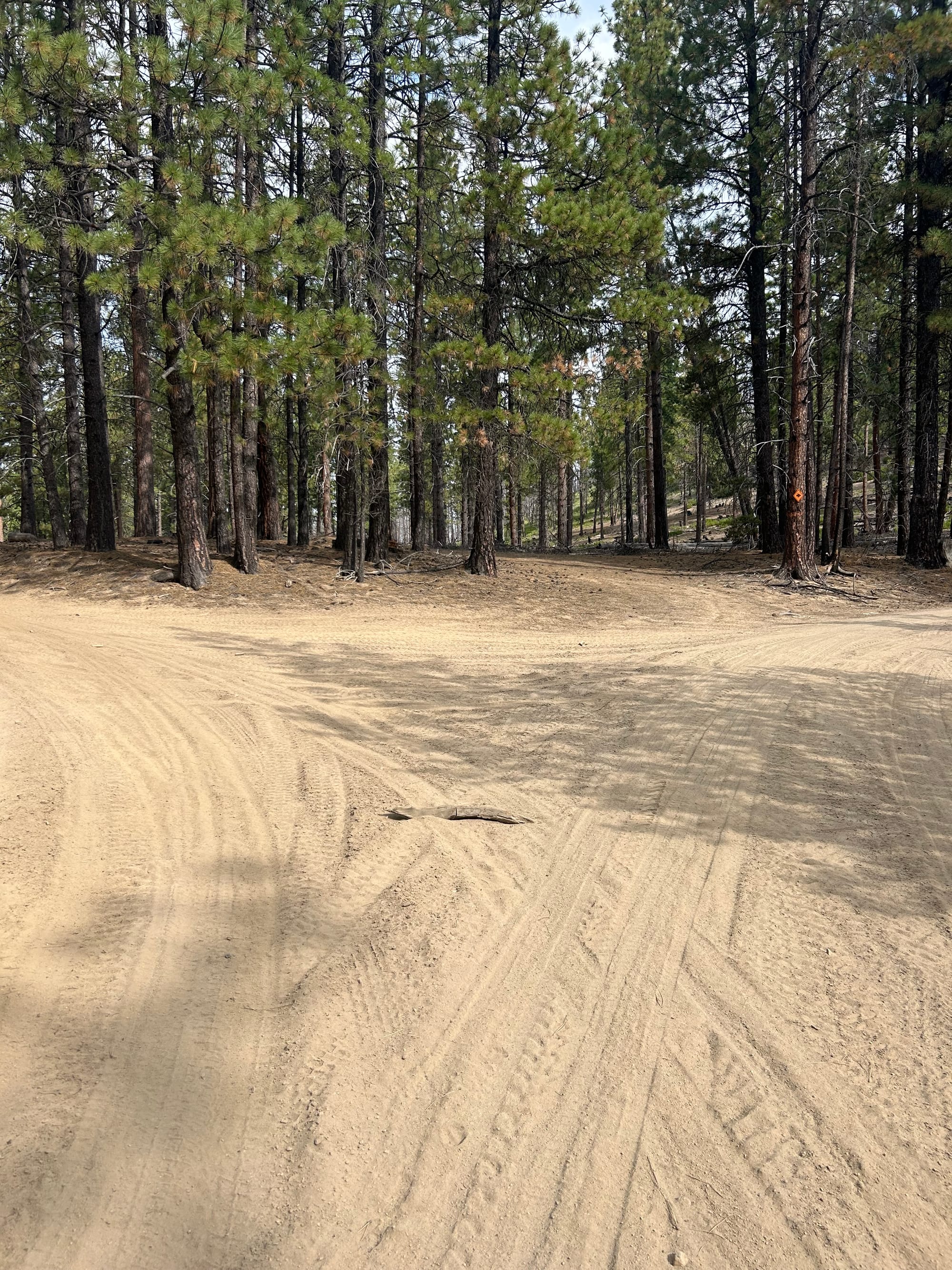
The next fork in the road take a left, don't follow the arrow on the tree this time around. It looks like if you go right you end up on another butte, next time we'll have to check that out.
At the final fork in the road take another left, this will take you to the top of McKay Butte.
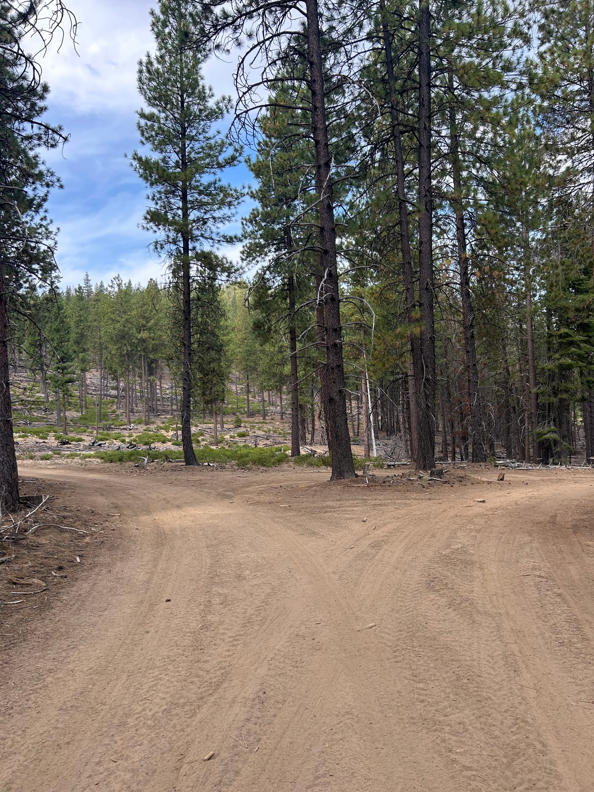
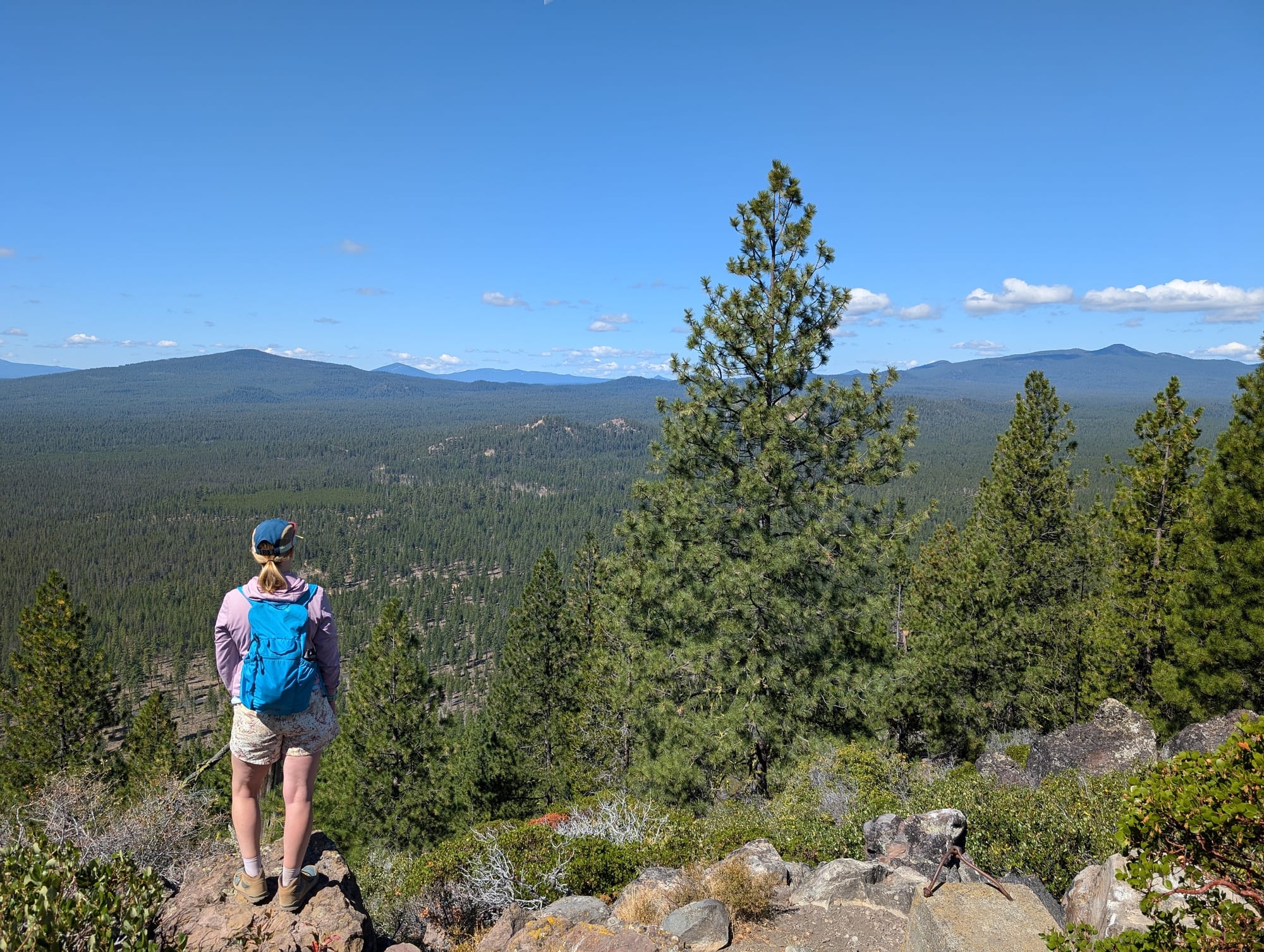
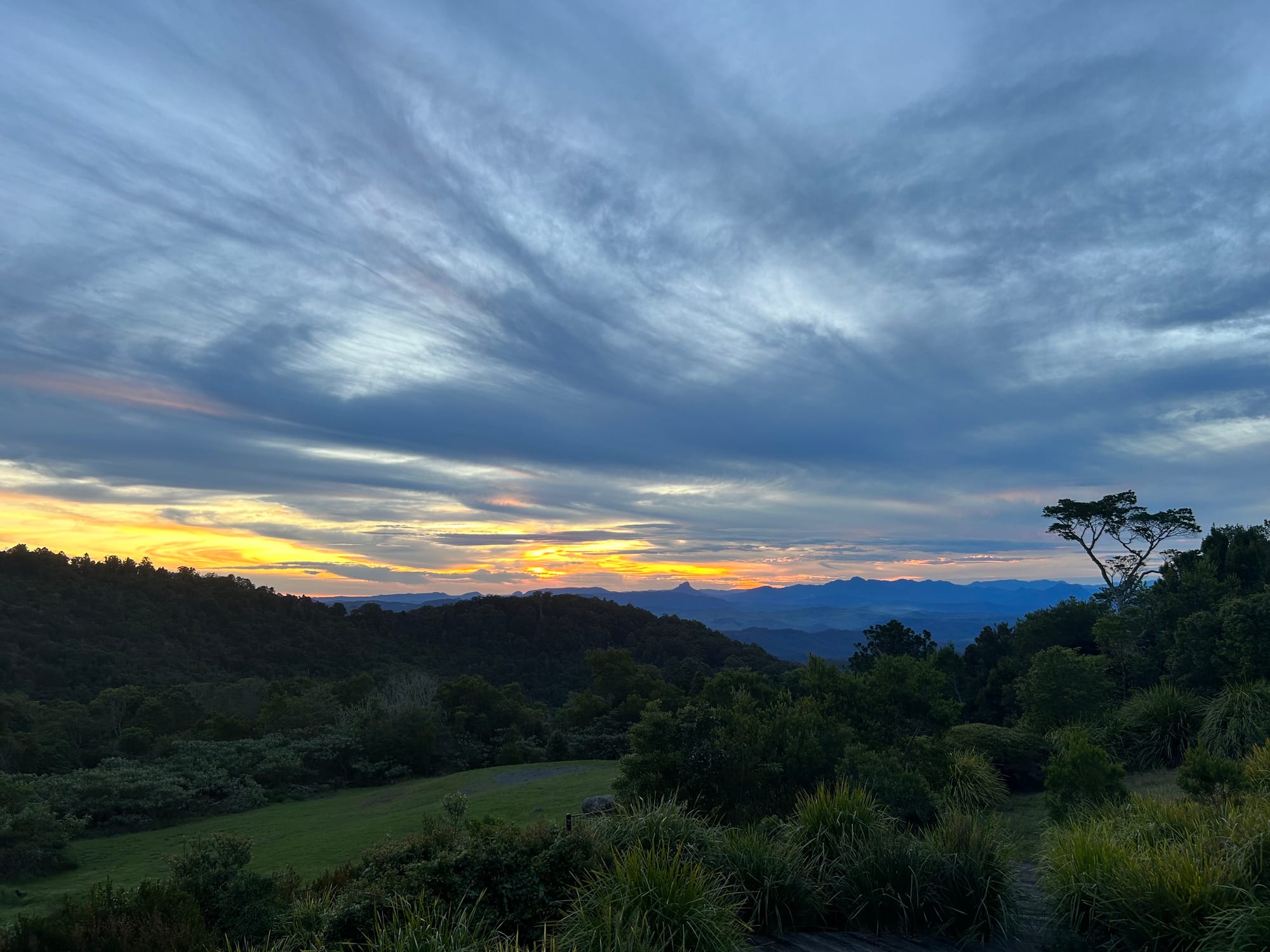
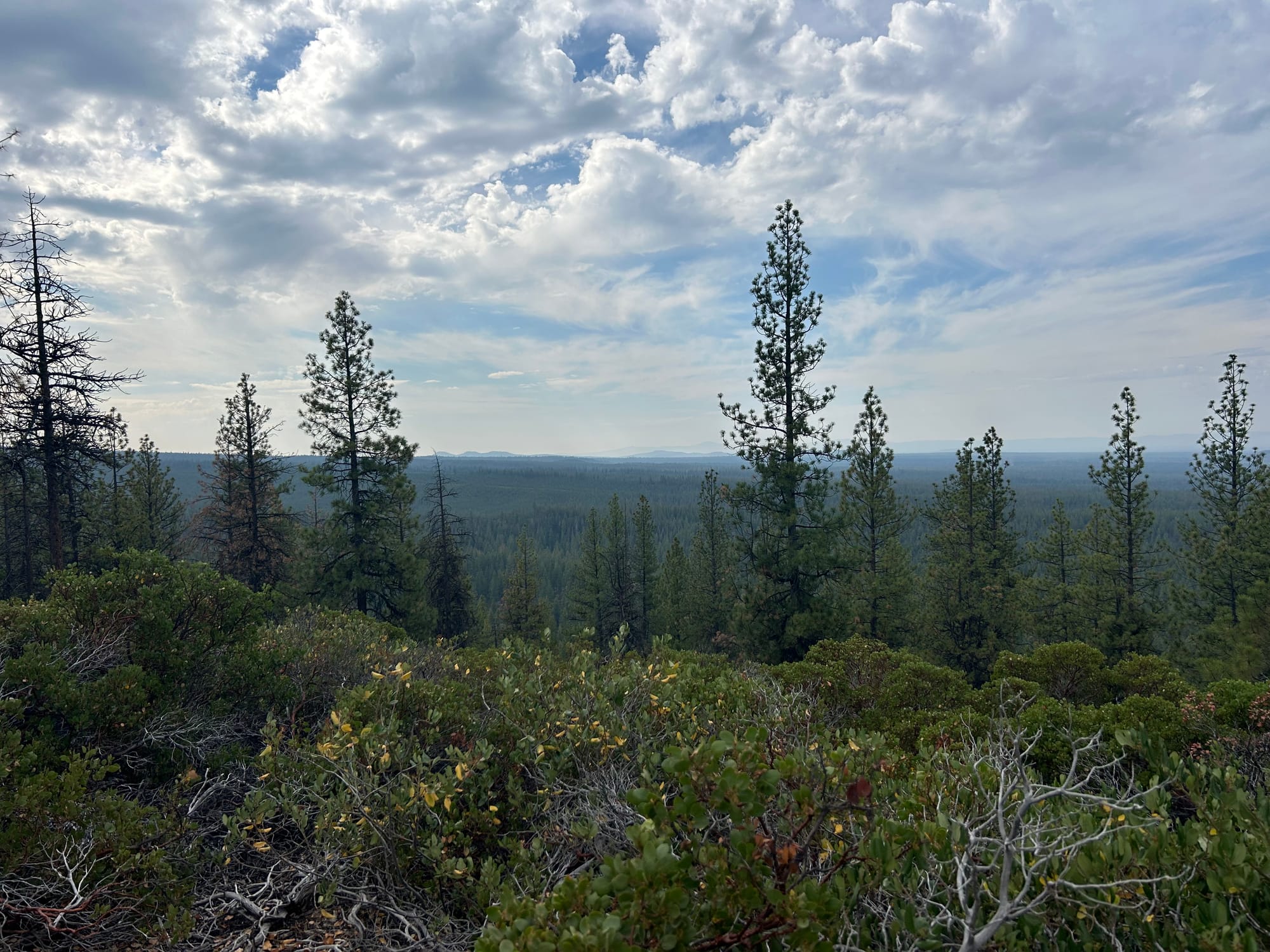
The trail ends at the top of the butte with pretty views and trees all around.