Pistol Butte
My husband and I moved to central Oregon recently and we have been trying to see how many different buttes we can hike in our area.
We decided to tackle Pistol Butte which is a little over 3 miles round trip.
It is a little bit of an adventure just finding the start of the trail for Pistol Butte. Follow the directions on google for Pistol Butte trailhead which will have you go down a gravel road for about a mile and then continue onto a dirt road for about .3 of a mile. Then when the road splits of the right that is where you park for the trailhead.
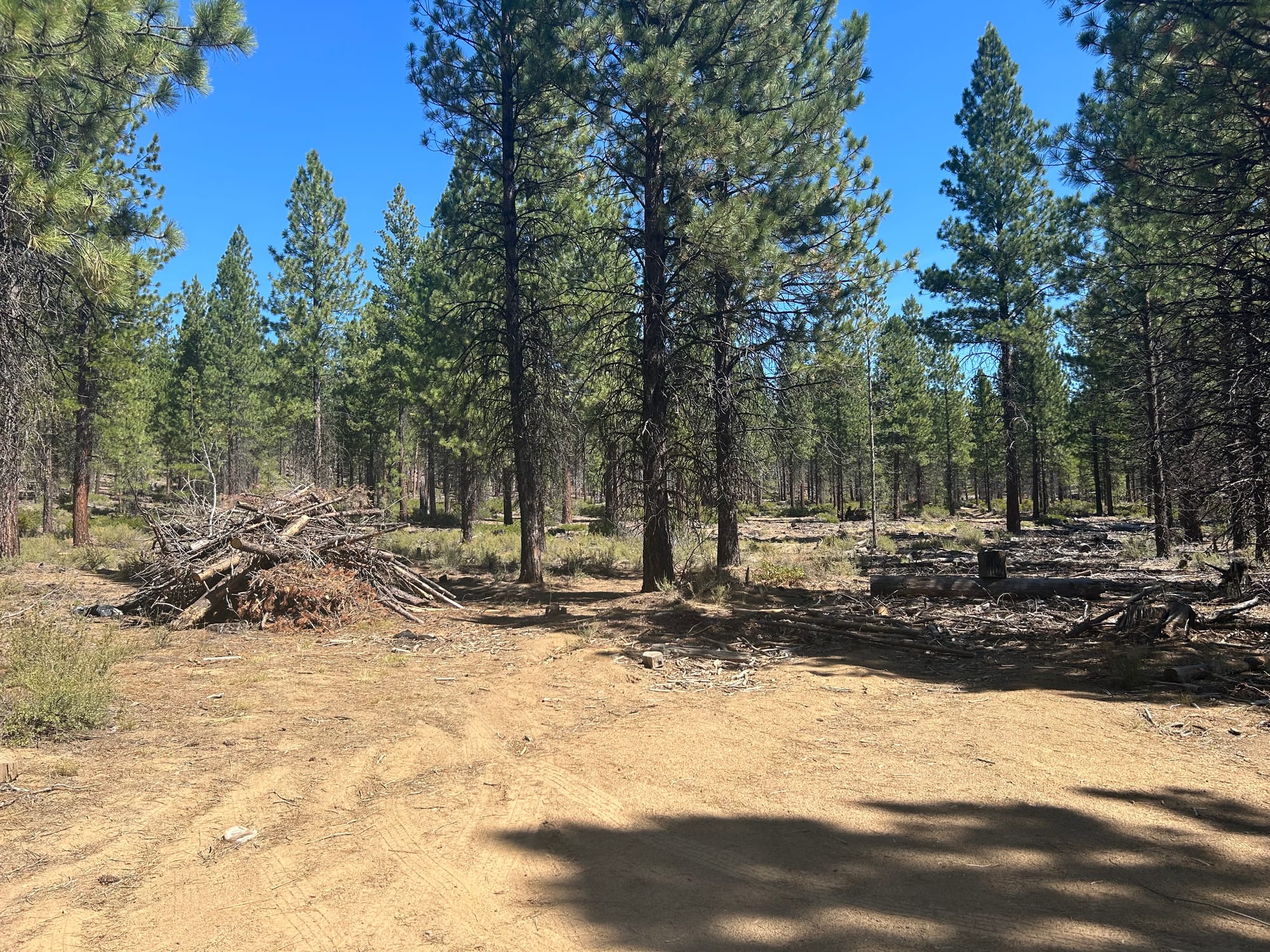
We parked just on the left in front of a burn pile.
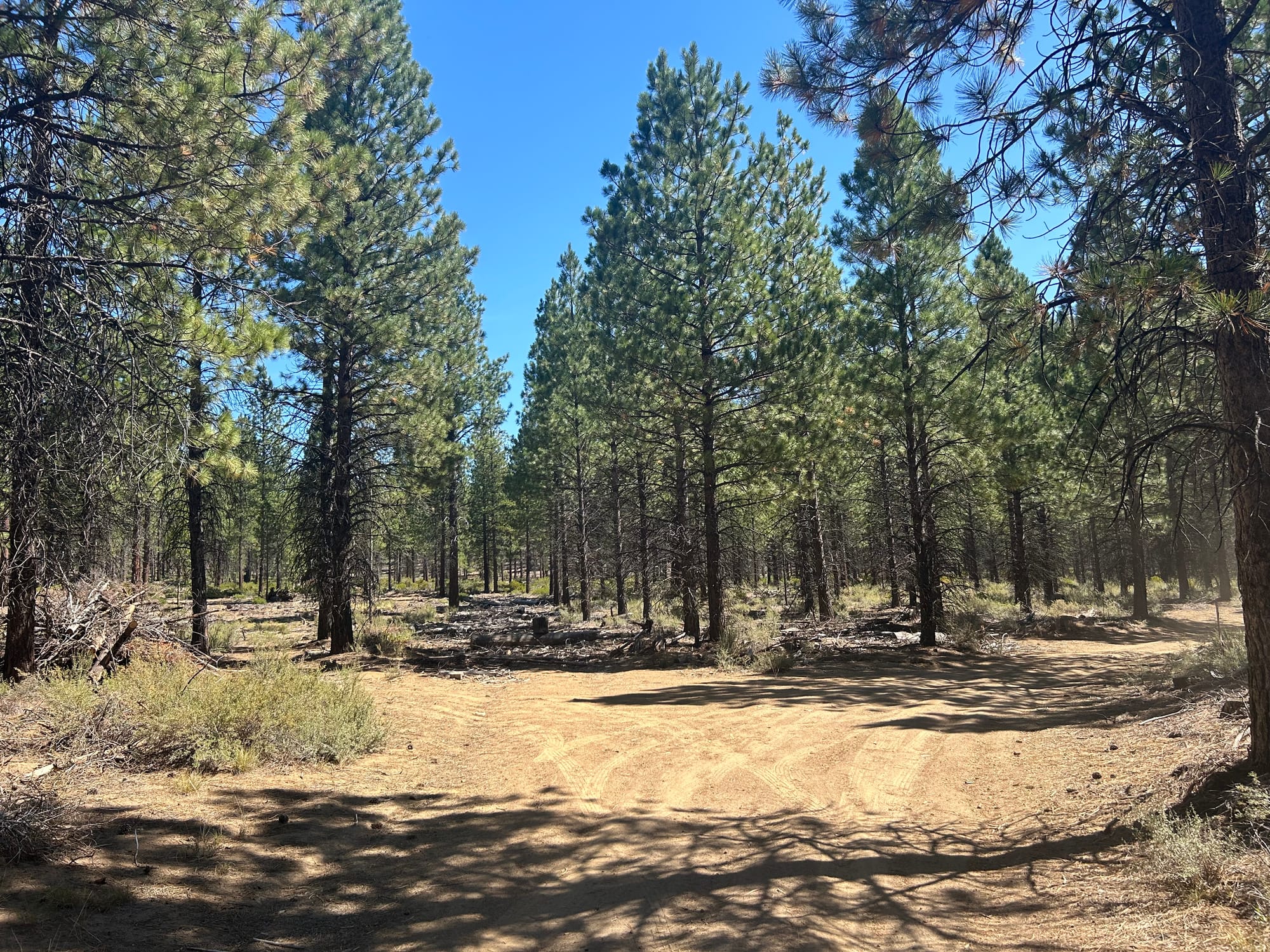
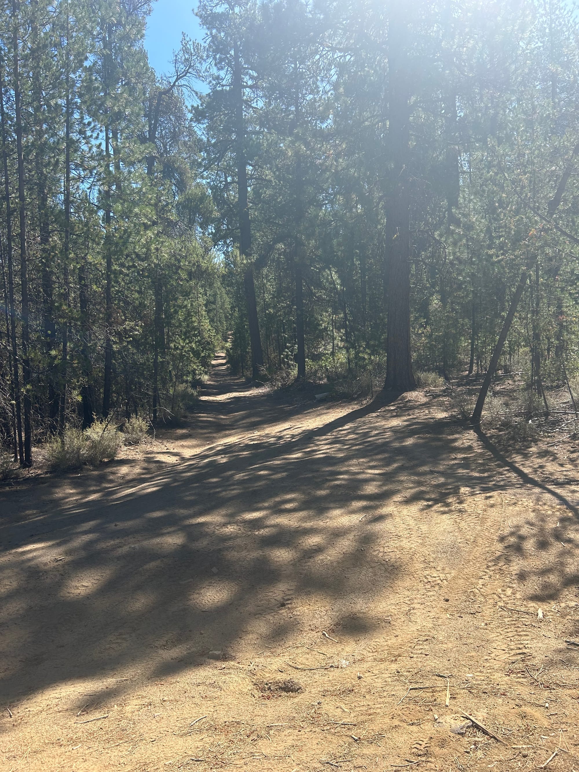
From here there are no trail markers but you can see a more well defined dirt path in the distance.
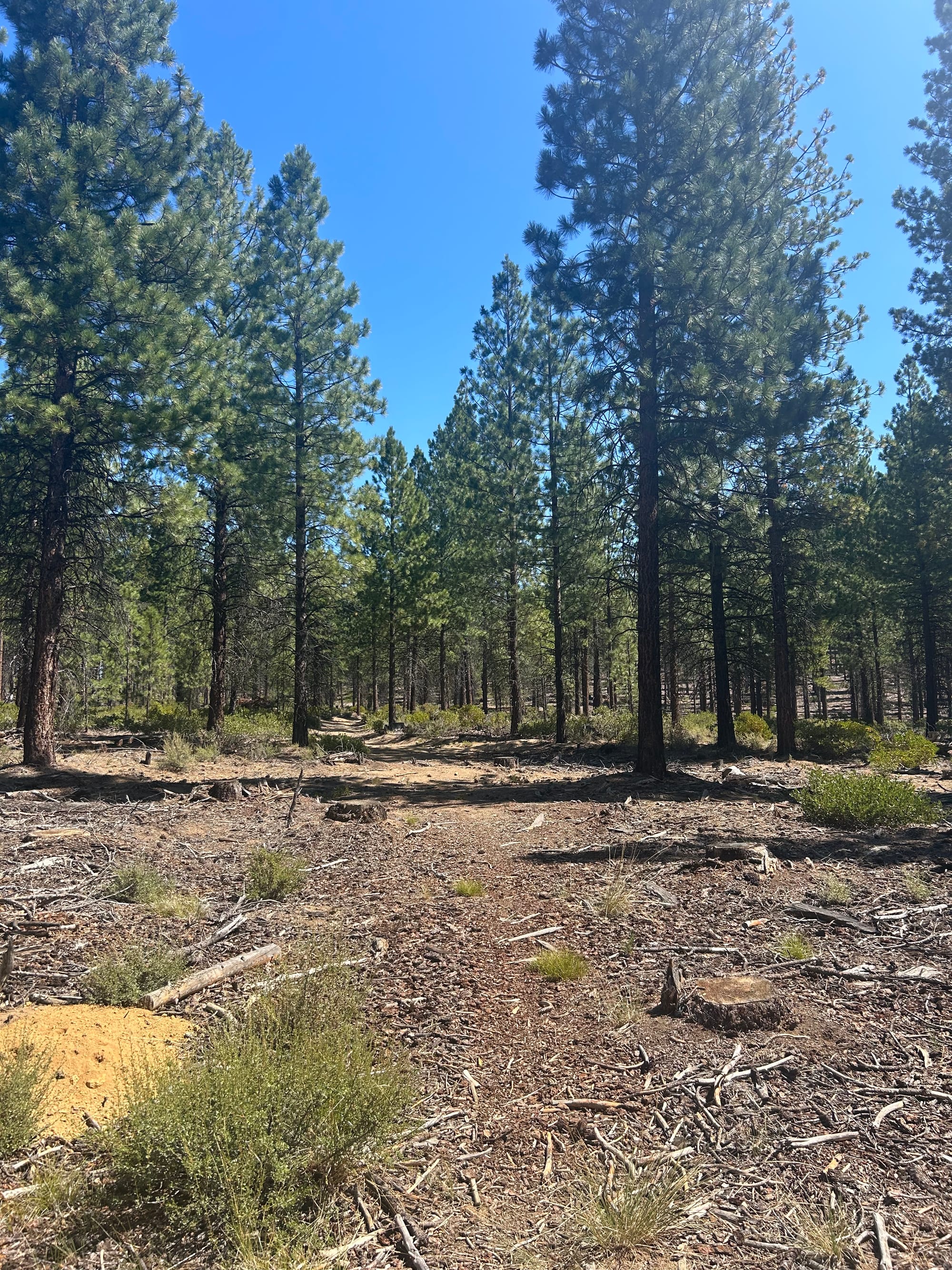
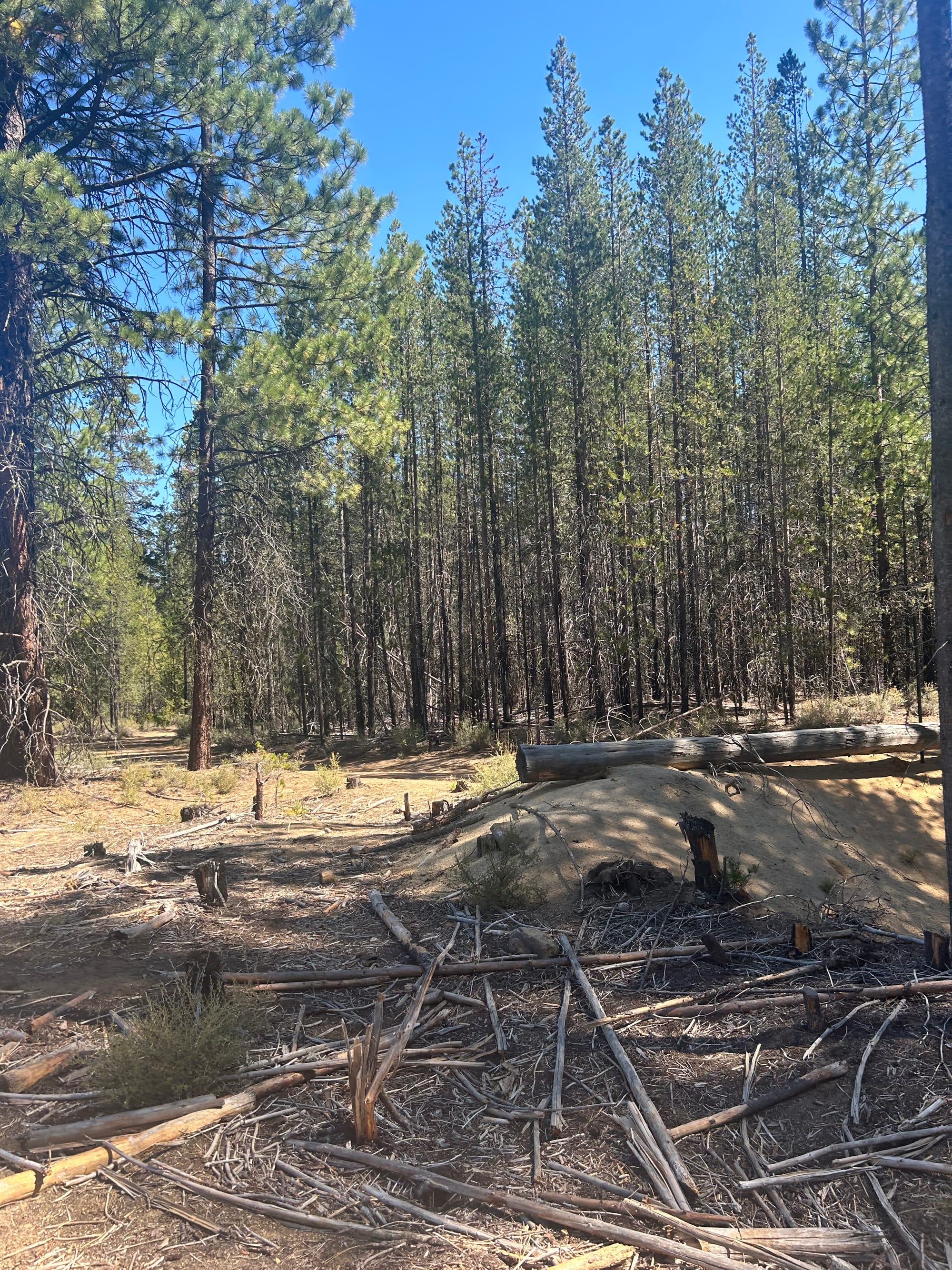
Keep following the defined path through the woods which is overall flat at this point.

When you get to the end of the path that intersects with a dirt road go right up the road. This is where it will start to get a little bit more steep of a climb.
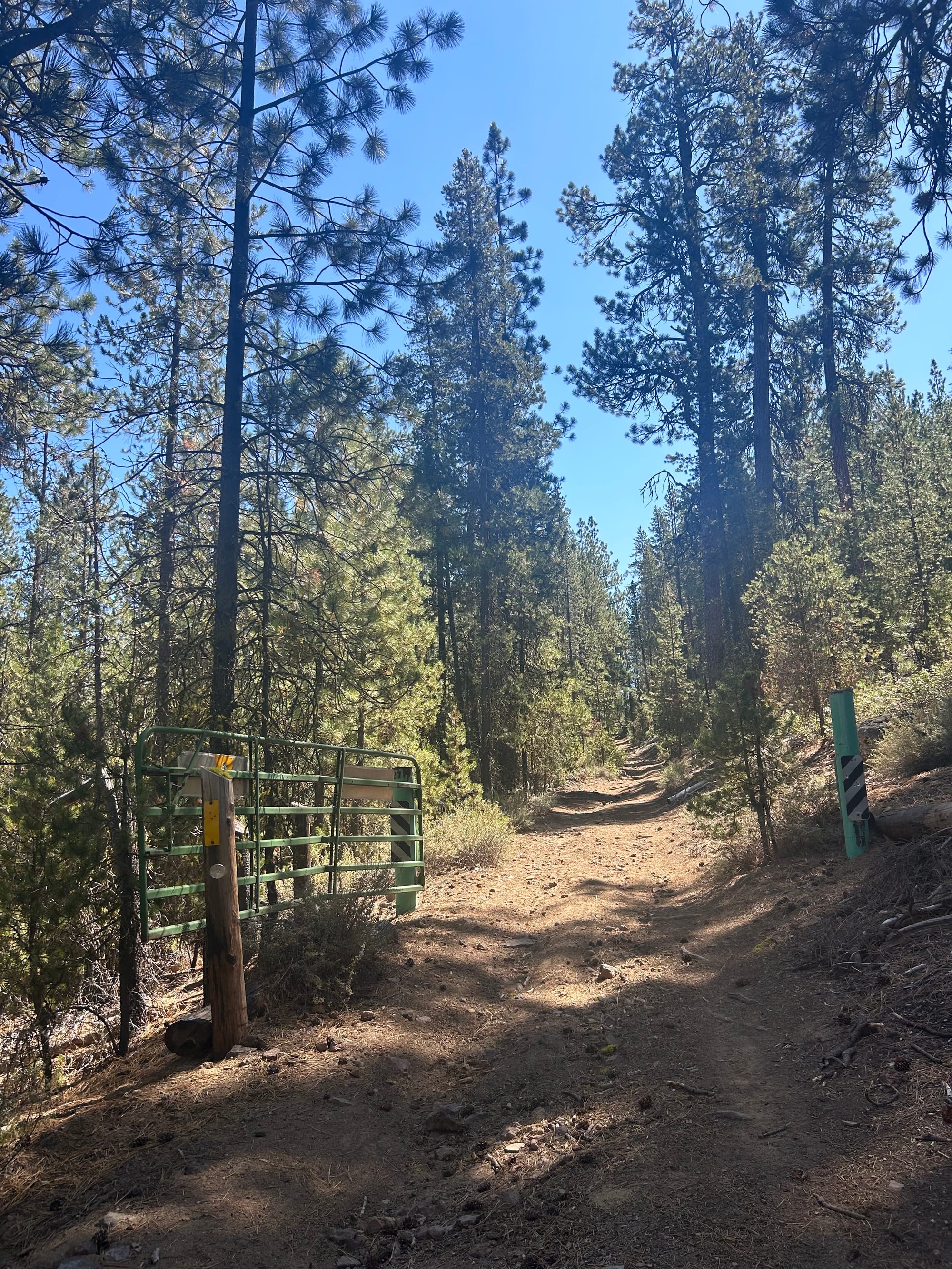
Keep hiking along the dirt road.
You will reach a gate which you continue through and up the butte.
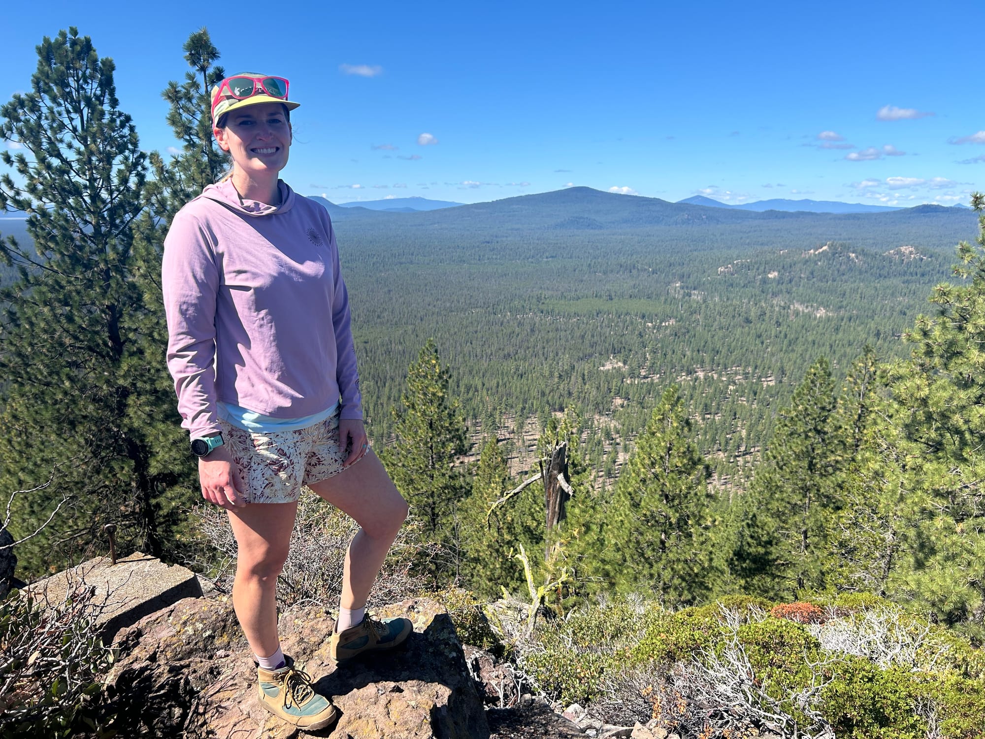
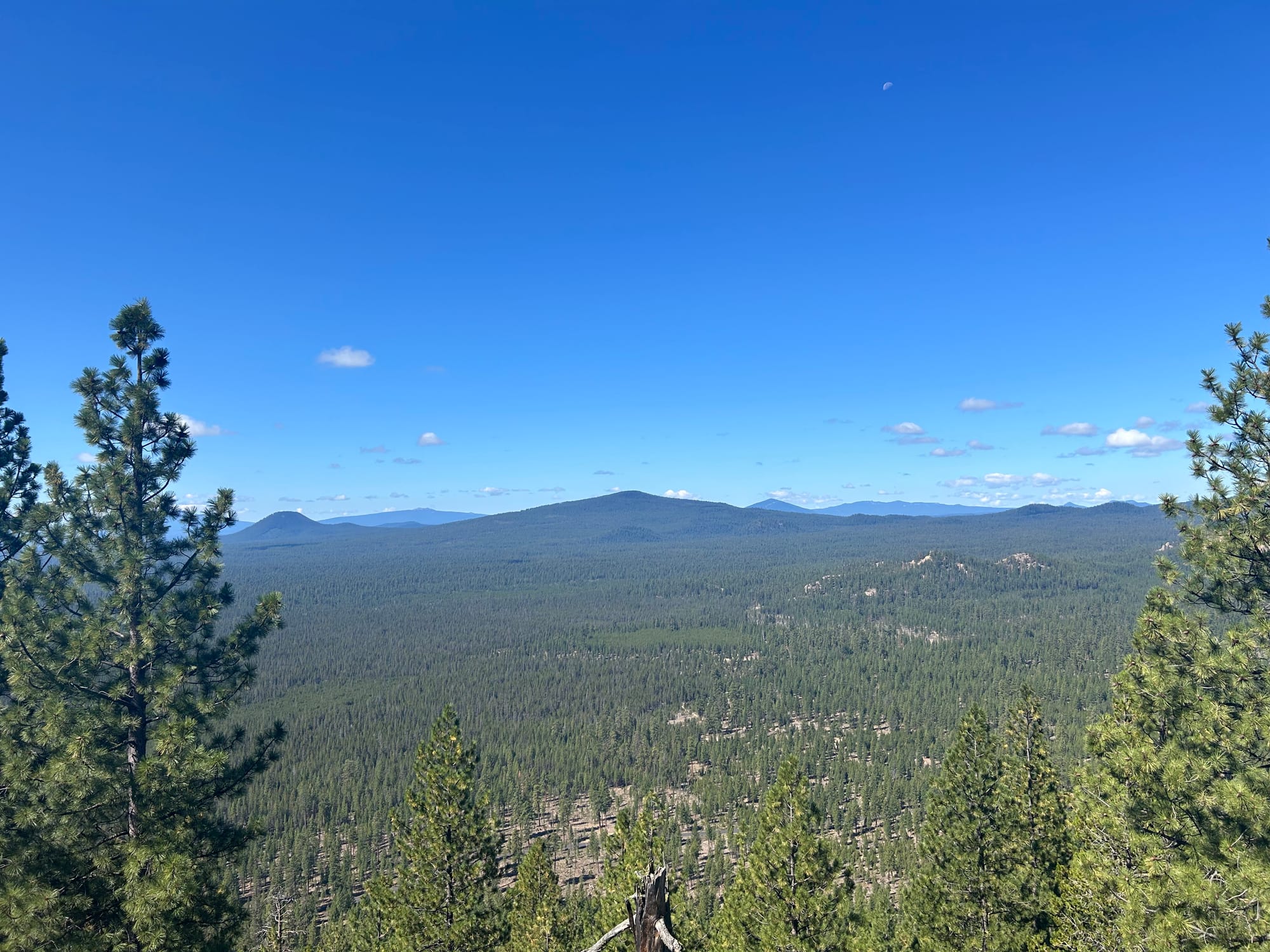
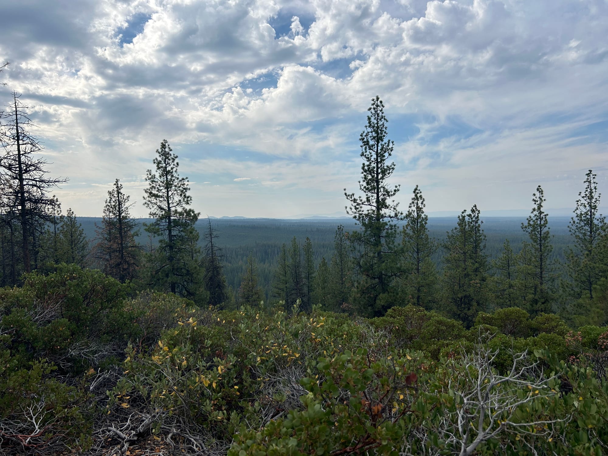
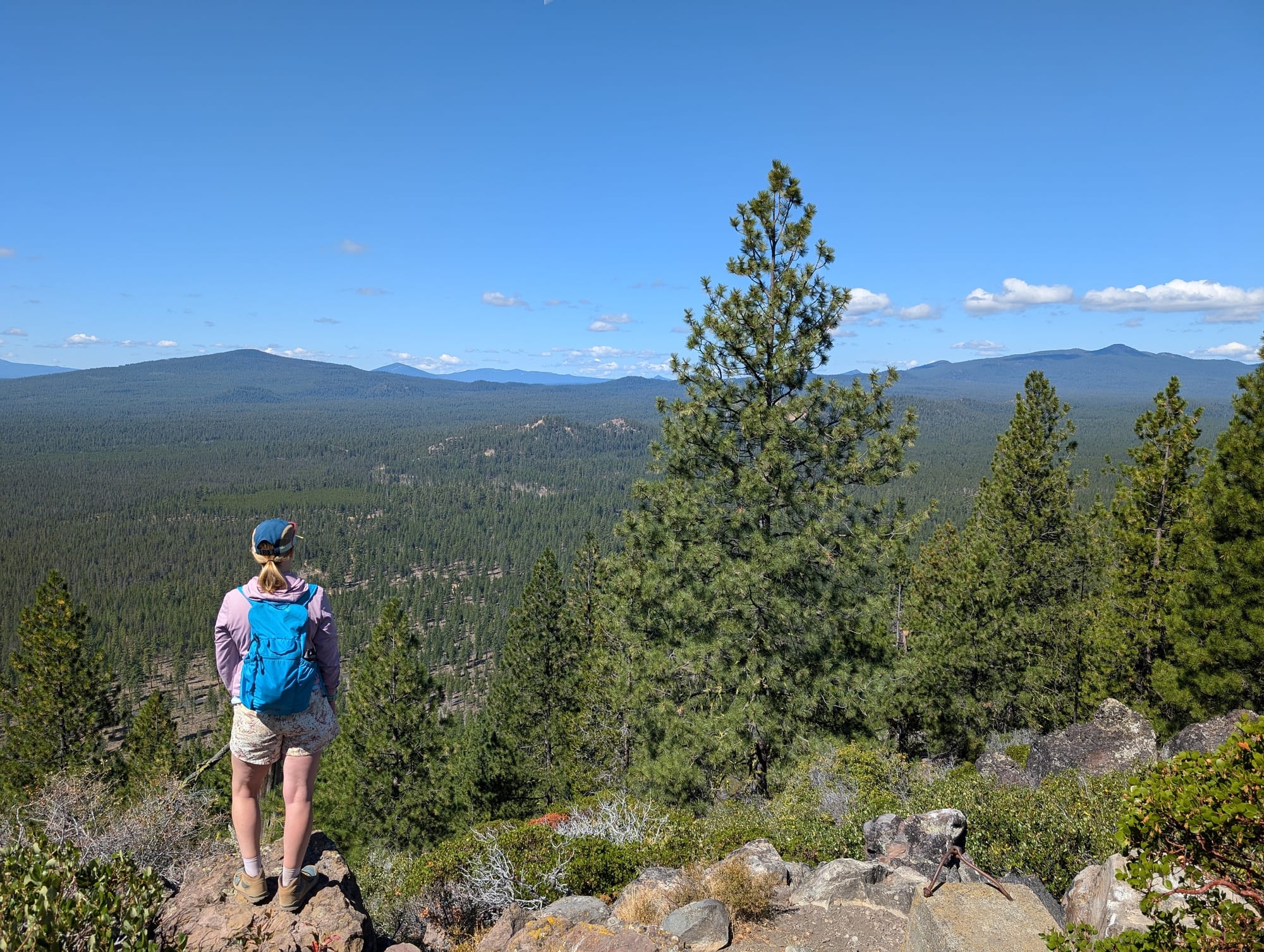
The last quarter of a mile is pretty steep switch backs but the views at the top are worth it!